POPULATION: 309
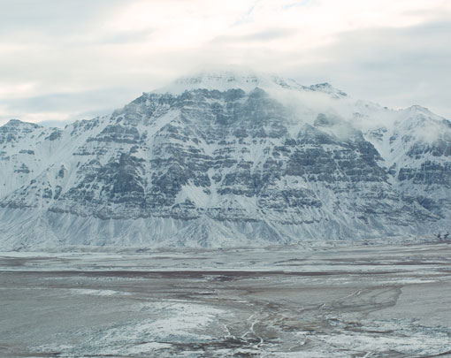
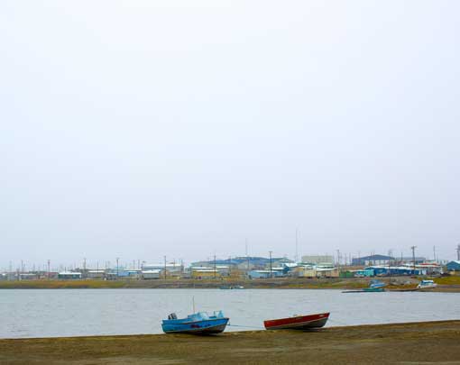
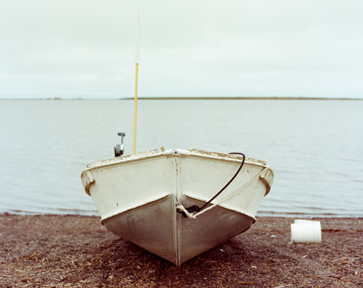
Point Lay is located on the Chukchi Sea coast, protected from the ocean by the Kasugaluk Lagoon. It is 152 miles southwest of Utqiaġvik. Kali, the Iñupiat name for the village, means “mound” and refers to the elevated mound on which it stands. It is likely the last remaining village of the Kuukpaagruk people. The winter temperatures range from 0 degrees to 20 below on average. The summer temperatures range from 30 to 50 degrees Fahrenheit.
The Kalimiut traditionally hunt beluga whales and is similar to the bowhead whaling culture in other North Slope villages.
After 72 years, the village of Point Lay was able to celebrate the successful harvest of a bowhead whale. In 2009, Atkaan Crew, captained by Julius Rexford, shared this harvest with the community during Nalukataq, which marks the end of a successful spring whaling season.
The Cully Corporation is the village corporation established pursuant to the Alaska Native Claims Act of 1971. The Cully Corporation owns approximately 90,000 acres of surface lands in and around the community. Point Lay lies within close proximity of the Northern Alaska Coal Province, which is believed to contain one-ninth of the world’s known coal reserves, and one-third of U.S. reserves.

